Watershed Protection
Headwater mapping, source-point monitoring, and binational catchment care from the Loja highlands to the Tumbes coast.
See watershed projects →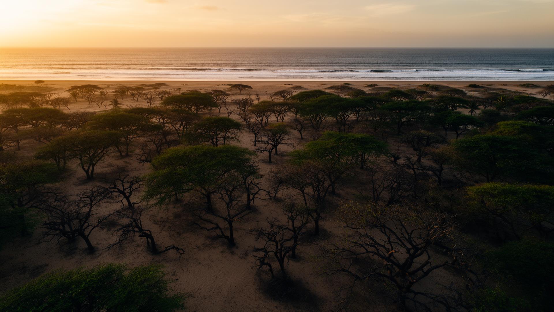
Watersheds, soil, habitat, species, dry tropical forest, coastal systems, agroecology, and climate resilience. This is where ecological function lives and where we measure recovery directly.
Headwater mapping, source-point monitoring, and binational catchment care from the Loja highlands to the Tumbes coast.
See watershed projects →Native riparian buffers stabilize streams, return pollinators, and rebuild the wet edge that the dry forest depends on.
Restoration logs →Algarrobo, ceibo, and hualtaco recovering on plots that were bare two years ago — with species returning behind them.
Species returning →Intertidal transects, marine debris recovery, and seabird counts on the Humboldt coast at Base Marítima Seca.
Coastal logs →A growing index of every species observed — common name, scientific name, ecological role, indicator value, and the photos and zones that ground each record.
Open species index →Compost rotations, root structure, and erosion control terracing on degraded slopes — the slow underlayer of every other recovery.
Learn the science →Polyculture beds, native seed allocation, and shade-tree integration with cluster farmers across the corridor.
See community side →El Niño / La Niña cycles, drought windows, and coastal warming — design choices that hold up across more than one season.
Climate resources →The forests, soils, and watersheds we protect were tended for centuries by farmers, healers, and elders. Visit the Culture Portal to meet the people who hold that knowledge.
Enter Culture Portal →